File:-Randers 1900.jpg

Original file (2,029 × 2,067 pixels, file size: 2.51 MB, MIME type: image/jpeg)
Captions
Captions
| Description |
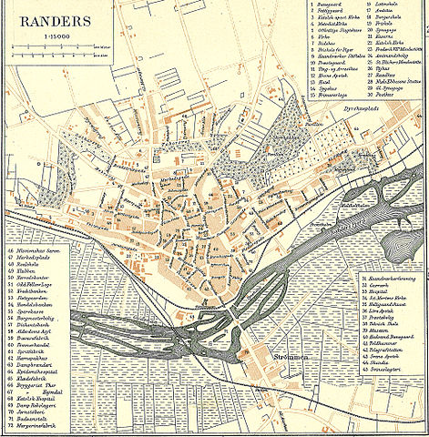
Dansk: Kort over Randers omkring 1900
English: Map of Randers in Denmark |
||||
| Date | circa 1900 | ||||
| Source | Frems Amtskort over Danmark | ||||
| Author | Fotolitograferede i Generalstabens Topografiske Afdeling | ||||
| Permission (Reusing this file) |
|
||||
| Other versions |
A detail of the map: File:Randers 1900 detail Tøjhushavekvarteret.png da:Randers Amt |
||||

| This is a retouched picture, which means that it has been digitally altered from its original version. Modifications: Randers by omkring 1900. The original can be viewed here: Randers Amt east.jpg:
|
File history
Click on a date/time to view the file as it appeared at that time.
| Date/Time | Thumbnail | Dimensions | User | Comment | |
|---|---|---|---|---|---|
| current | 11:22, 18 January 2009 | | 2,029 × 2,067 (2.51 MB) | Cropbot (talk | contribs) | {{Information |Description=da:Kort over den østlige del af Randers Amt<br/>en:Map of the eastern part of Randers County in Denmark |Source=''Frems Amtskort over Danmark'' |Date=ca. 1900 |Author= Fotolitograferede i Generalstabens Topografiske Afdeling |P |
You cannot overwrite this file.
File usage on Commons
The following page uses this file:
File usage on other wikis
The following other wikis use this file:
- Usage on da.wikipedia.org
- Usage on de.wikipedia.org
- Usage on en.wikipedia.org